Mount Liavaag — Coordinates: 77°22'S 86°29'W
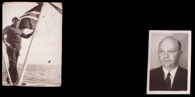
Mount Liavaag is a 1820-metre-high mountain in Antarctica 77°22'S 86°29'W (Archive.org, 2026). The mountain lies between Mount Holmboe and Holth Peaks near the north end of the Sentinel Range in Ellsworth Mountains, Antarctica. Mount Liavaag was discovered by Lincoln Ellsworth on his Trans-Antarctic Flight Expedition 23 November 1935. The name of Mount Liavaag was provided by the Advisory Committee on Antarctic Names (US-ACAN) for First Mate Lauritz Ludvig Martin Liavaag at M/S Wyatt Earp in 1936. He was also a member of two previous expeditions to the Antarctic with Lincoln Ellsworth.
From Sunnmøre to Antarctica
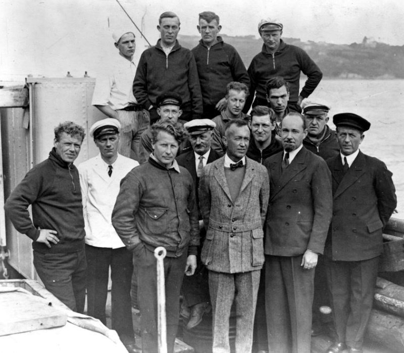
The American Lincoln Ellsworth and the Australian polar explorer Sir Hubert Wilkins had a desire to be the first to fly over the South Pole, from coast to coast. At the same time, the goal was to map the landscape. The first to achieve this were the Norwegian Bernt Balchen and the American polar explorer Richard E. Byrd in November 1929. The ship M/S Wyatt Earp found Hubert Wilkins in Ålesund. The ship, which was built as a fishing boat in 1919, was then called M/S Fanefjord, and was owned by the company of the same name (Maynard, 2019). The ship was robust enough for Antarctic conditions, and it could carry an aircraft. The Ellsworth expeditions were the name of a total of four polar expeditions to Antarctica between 1933 and 1939. Lauritz Ludvig Martin Liavaag was the only Norwegian to be on all four expeditions. The first two as second mate, the last two as first mate.
Below is a historical map of the area. Click on the historical map to enlarge it so that you can study the details of the Ellsworth Mountains and Mount Liavaag. At the bottom are two pictures of Lauritz Ludvig Martin Liavaag, as well as the rest of the crew of Ellsworth's expedition circa 1933.